Services
Drone Services That We Offer

Deer RECOVERY
Don't lose your harvest
PET & LIVESTOCK RESCUE
We'll help bring them home
AERIAL PHOTO & VIDEO
Show your property from its best angle

EVENTS
Capture your special day from any angle
CALL US NOW
The sooner we launch, the better your chances. Every minute counts in recovery operations. Contact us immediately for the fastest response and highest success rate.
RECOVERY & RESCUE
DEER, PETS & LIVESTOCK
Using state-of-the-art drones equipped with thermal imaging, high-resolution cameras, and GPS tracking, we cover vast areas quickly without putting human rescuers at risk. Whether it’s locating a missing hiker, finding lost pets, tracking deer for hunters, or rescuing lost livestock, our services provide real-time data and aerial support to ground teams
THERMAL IMAGING
Drones with infrared cameras spot body heat from animals or humans even in low visibility, enabling rescues without interruptions.
WIDE-AREA COVERAGE
Cover miles of terrain in minutes, ideal for expansive farms or hunting grounds where time is critical.
SAFE & NON-INVASIVE
Minimize disturbance to wildlife and reduce risks to rescuers by operating remotely from a safe distance.
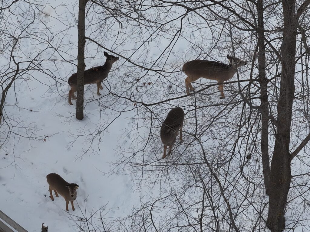



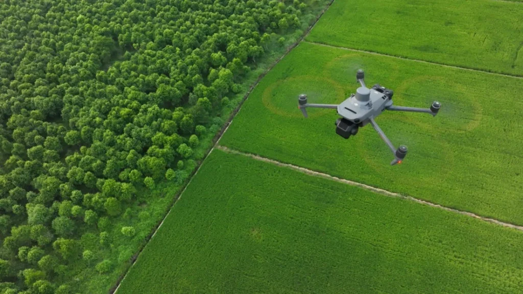


PHOTO & VIDEO
EVENTS, INSPECTIONS & SURVEYS
For events like festivals or weddings in scenic Wisconsin locations, we deliver dynamic footage that captures the full atmosphere. In agriculture, drones assist with herd analysis by monitoring animal health, movement patterns, and pasture conditions from above. Inspections of roofs, towers, or infrastructure become safer and more thorough, while construction sites benefit from regular progress videos that aid in project management and stakeholder updates.
HIGH QUALITY RESOLUTION
Produce 4K videos and photos for detailed analysis, from event highlights to construction blueprints.
REAL-TIME MONITORING
Watch our live feeds for immediate insights during inspections or herd assessments.
COST-EFFECTIVE
Reduce the need for scaffolding or helicopters, saving time and resources on large-scale projects.
Our Customers Feedback

We were so lost when our dog ran away in the woods behind our house but we called George and they found him in less than 10 minutes using the thermal drone. Super nice guy and really knows what he’s doing. Thank you George!!
DRONE SERVICE FAQ
We prioritize urgent calls and can often, but not guaranteed, get the drone airborne within the same day, weather and location permitting. We are based right in Antigo, so response times are fast for northern Wisconsin areas. For emergencies, contact us immediately—we use thermal imaging to maximize success, day or night.
Our drones are equipped with high-resolution cameras (up to 4K video and detailed photos), thermal/infrared sensors for heat detection (ideal for locating animals or people), and GPS for precise mapping. Everything is FAA-compliant, and we select the right setup for your job—whether it's a quick pet rescue or detailed herd/farm analysis.
Yes—we hold a current FAA Part 107 commercial drone pilot certification. Packard Drone Services is fully insured for liability, and we strictly follow FAA rules, no-fly zones, and Wisconsin guidelines to ensure safe, legal flights every time.
Pricing varies by job type and scope—emergency recovery missions often have a flat starting rate, while aerial photo/video projects depend on area size, flight time, and editing. We offer free, no-obligation quotes after a quick chat about your needs. Just reach out!