FIND YOUR ANIMALS FAST!

×

Call Us Now

📞 715-750-7855

Click to call or copy this number

Missing livestock costs time and money. Our thermal imaging drones locate escaped or lost cattle, horses, and other animals quickly, covering hundreds of acres in minutes. We save you hours of searching so you can get back to work.

LIVESTOCK RECOVERY PRICING

Starting at $300 00
2 hours of active flight time
GPS coordinates sent directly to your phone
Fully licensed & insured
FAA Part 107 certified pilot
Thermal imaging search
  • Fast Emergency Response

    When livestock escape or go missing, every hour counts. We understand that time spent searching is time away from your other farm operations. Whether it's a fence break, storm scatter, or individual animal escape, we respond quickly to get your animals located.

  • GPS Precision

    Our drones provide exact GPS coordinates when we locate your livestock. No more riding miles of fence line or checking the same pastures repeatedly. We tell you exactly where your animals are so you can send your recovery team directly there - saving fuel, time, and frustration.

  • Experienced Rural Operators

    Our pilots understand livestock behavior, farm operations, and rural Wisconsin terrain. We know where cattle tend to drift, how horses move when loose, and the challenges of large property searches. This agricultural experience means we search smarter and find your animals faster than someone unfamiliar with livestock.

  • Licensed and fully insured

    Every flight is conducted by FAA Part 107 certified pilots with full commercial liability insurance. We operate legally, safely, and professionally on every job

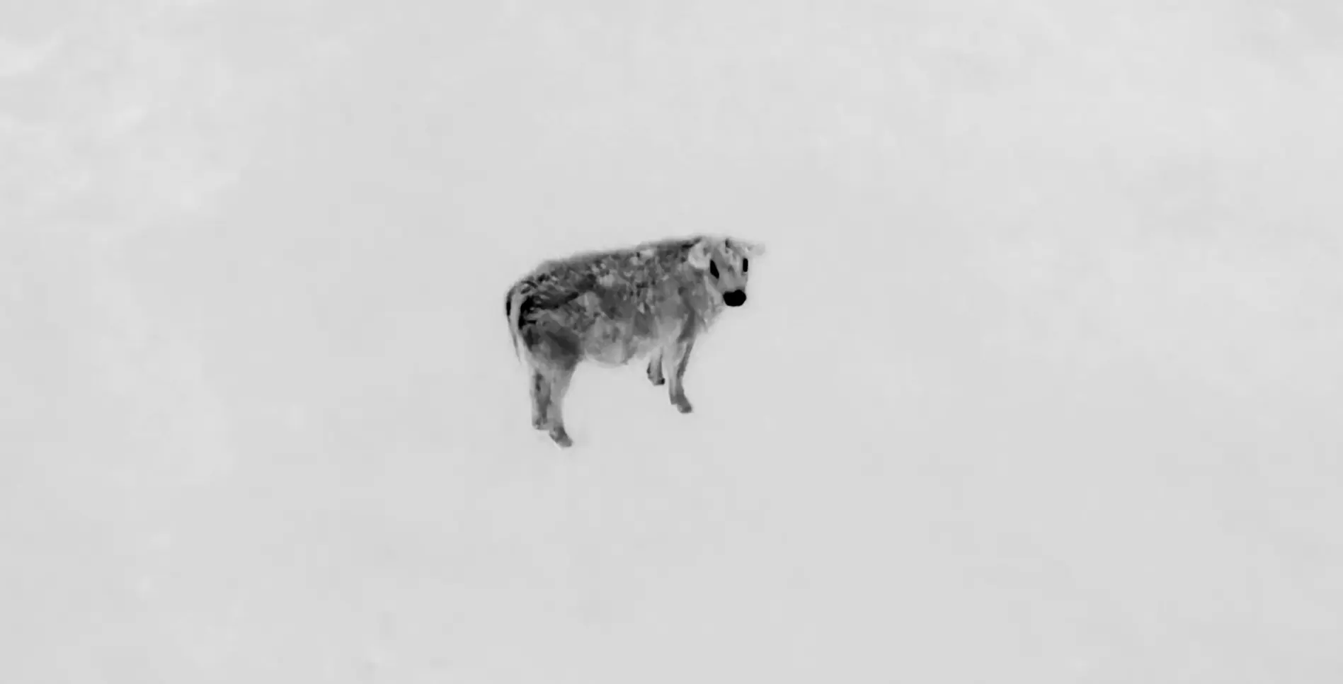
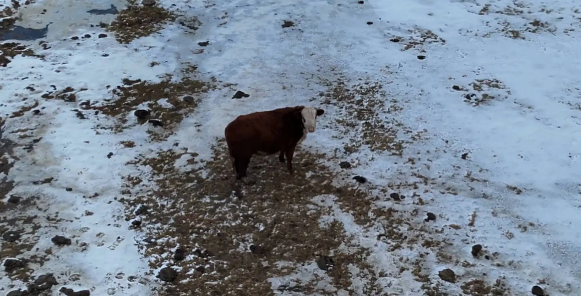
THERMAL vs REGULAR CAMERA

MOVE SLIDER LEFT & RIGHT TO SEE DIFFERENCES

THERMAL
REGULAR
"Three head of cattle broke fence one day and we decided that Instead of spending all day searching our 400 acres we would call George. He found them in under an hour. Literally paid for itself immediately."
James R.
Farmer from Antigo

HOW DOES IT WORK?

OTHER SERVICES WE OFFER

Herd Count & Analysis

Pasture Check

Fence Line Inspections

Water Source Monitoring

Property Boundary

NEED A QUOTE?

Stop searching on foot or horseback. Our drones can cover your entire property in a fraction of the time, getting your livestock located and recovered quickly. Every hour searching is lost productivity – let us find them fast.

HOW TO REACH US

STATISTICS

WHY LIVESTOCK RECOVERY WORKS

Thermal imaging cameras detect the heat signature of your animals from the air, making them visible even in dense brush or anywhere traditional line-of-sight fails. We can operate at dawn, dusk, or after dark when many escaped animals are most active but hardest to spot visually. For farmers and ranchers, time lost searching means time away from critical work.

Success Rate
0 %
Faster Than Ground Searches
0 X
Acres Searched Per Hour
0 +
Thermal Detection Accuracy
0 %

Work Hours

Success rates drop significantly with each passing hour. Our thermal imaging works best when deployed quickly. Call now to maximize your chances of a successful recovery.

Copyright © 2026 Packard Drone Services