×

Call Us Now

📞 715-750-7855

Click to call or copy this number

DON'T LOSE YOUR HARVEST!

Lost a deer after the shot? Our thermal imaging drones can locate your harvest quickly, even in thick brush or darkness. We cover large areas fast and guide you right to your deer.

DEER RECOVERY PRICING

Starting at $300 00
2 hours of active flight time
GPS coordinates sent directly to your phone
Fully licensed & insured
FAA Part 107 certified pilot
Thermal imaging search
  • Fast Response

    We offer rapid response 24/7 during hunting season and emergency availability year-round. When you call, we answer - and we get to your location fast, weather & conditions permitting.

  • GPS Precision

    Our drones provide exact GPS coordinates for every location we identify. Whether it's a downed deer, a hiding pet, or a specific property feature, we give you pinpoint accuracy that gets you directly to what you're looking for - no wasted time, no confusion.

  • Experienced Hunter-Pilots

    Our pilots aren't just drone operators - they're hunters and outdoorsmen who understand tracking, animal behavior, and the Wisconsin terrain. This real-world experience means we know where to look, how to search effectively, and what signs to watch for.

  • Licensed and fully insured

    Every flight is conducted by FAA Part 107 certified pilots with full commercial liability insurance. We operate legally, safely, and professionally on every job

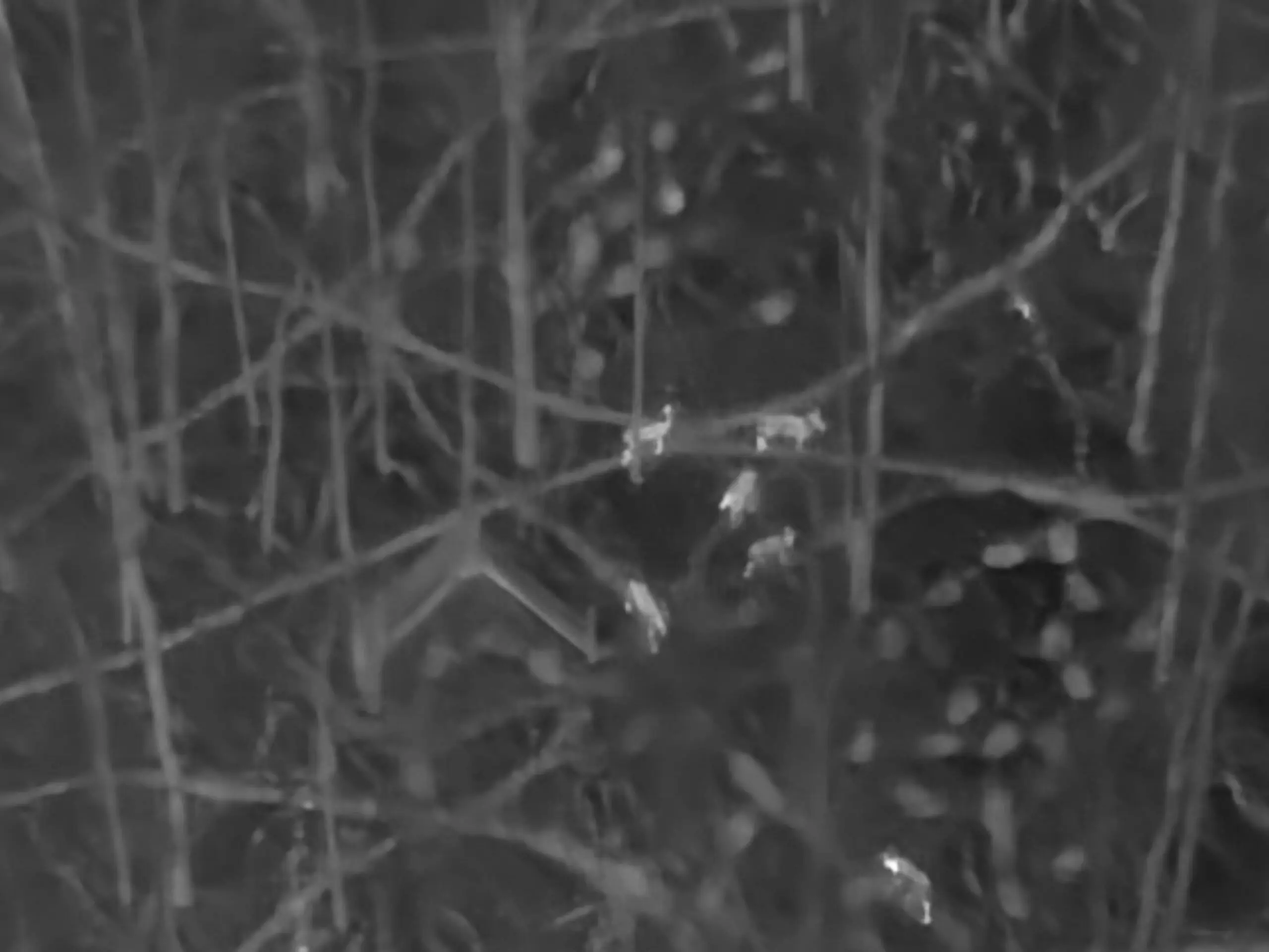
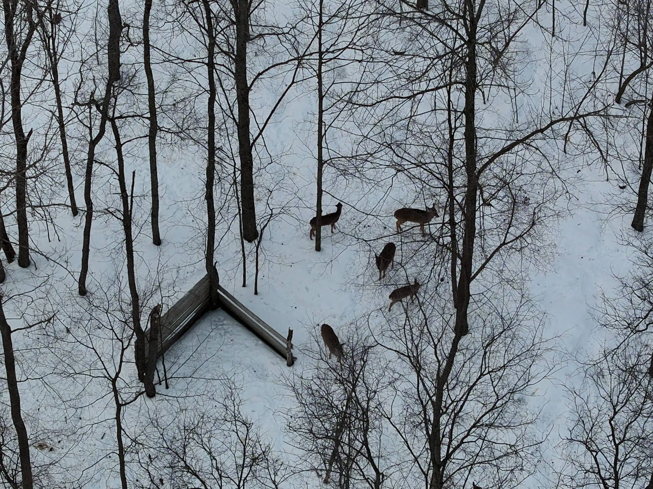
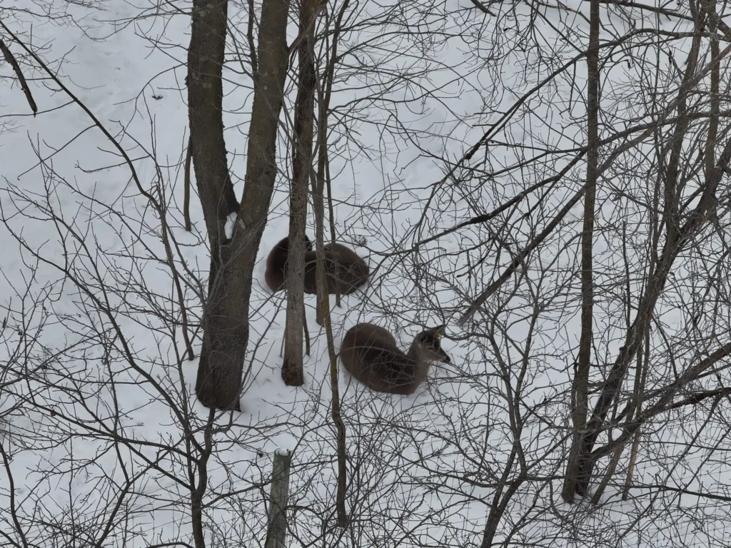
THERMAL vs REGULAR CAMERA

MOVE SLIDER LEFT & RIGHT TO SEE DIFFERENCES

THERMAL
REGULAR
george-deer

WE KNOW THESE WOODS

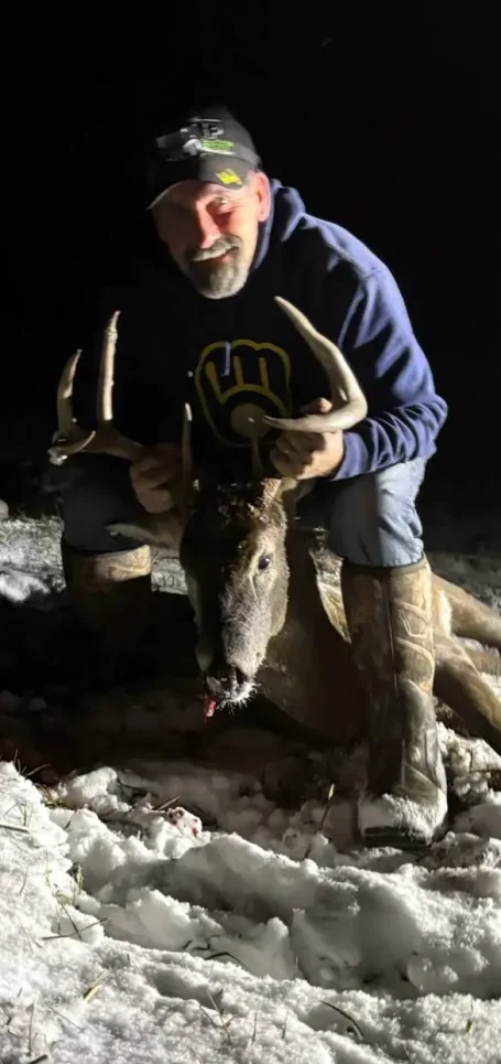
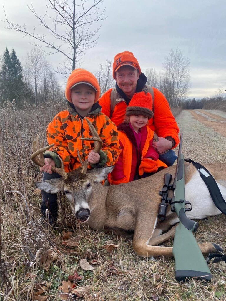
George has been hunting in Wisconsin for over 40 years. He knows the land, the terrain, the thick brush, the creek bottoms — and he knows the gut-punch feeling of watching a deer disappear into the dark after the shot and never being able to track it down.

It happens to even the most experienced hunters. You follow the blood trail as long as you can. You grid the area for hours. You come back the next morning. And sometimes, you still go home empty-handed — knowing that deer is out there somewhere.

That's exactly why George built this service. After four decades of hunting, he understood the problem better than anyone. Traditional recovery methods rely on your eyes, your flashlight, and your best guess. A thermal drone changes everything. It sees heat — and a downed deer and sometimes even in heavy cover, shows up clearly on thermal imaging that no amount of boot leather can replicate. We cover all of Wisconsin and we can typically be on-site fast. The sooner we're in the air, the better your chances of a full recovery.

Don't let that deer go to waste. Call us before you lose the trail.

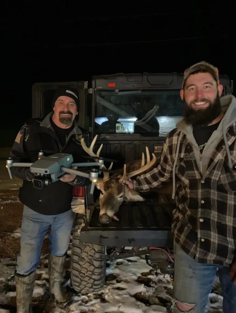
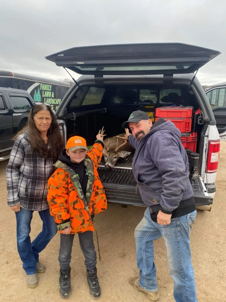
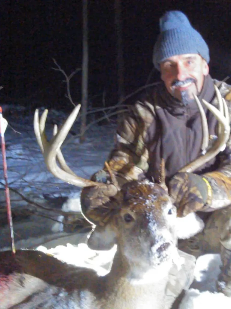
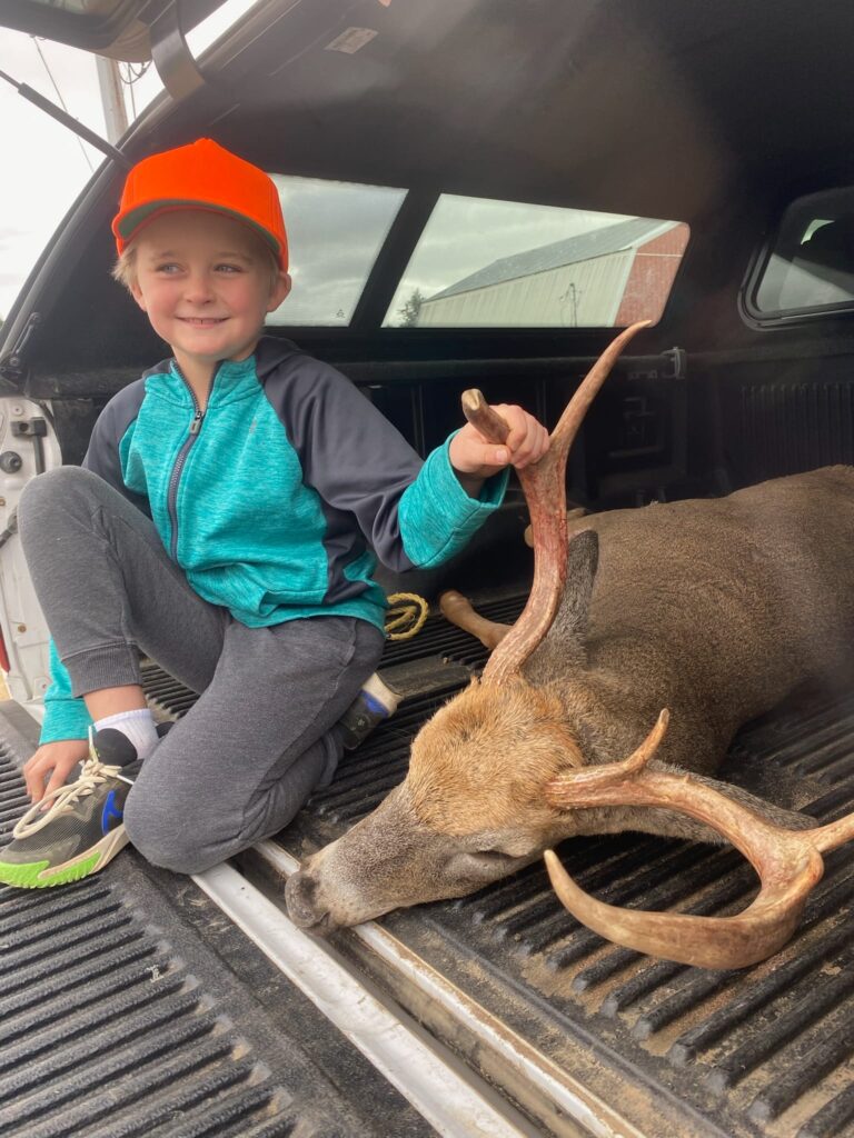
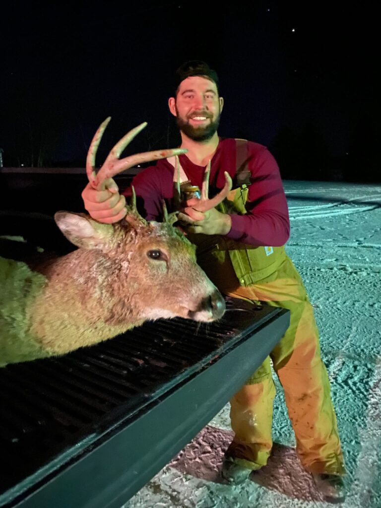
"I lost the blood trail in the woods and I though my buck was gone for good, so I started looking online for tips or help and George's website came up. I gave him a call and couple hours later I had the buck in the bed of my truck. WORTH EVERY PENNY!
Mike T.
Hunter from Rhinelander

HOW DOES IT WORK?

NEED A QUOTE?

The sooner we launch, the better your chances. Every minute counts in recovery operations. Contact us immediately for the fastest response and highest success rate.

HOW TO REACH US

STATISTICS

WHY DEER RECOVERY WORKS

Whether it’s thick brush, tall grass, or darkness, our thermal cameras see what the naked eye can’t. Once we locate your deer, we’ll guide you directly to it using GPS coordinates. The sooner you call us after the shot, the better – but we’ve successfully recovered deer many hours later too.

Success Rate
0 %
Faster Than Ground Searches
0 X
Acres Searched Per Hour
0 +
Thermal Detection Accuracy
0 %

Work Hours

Success rates drop significantly with each passing hour. Our thermal imaging works best when deployed quickly. Call now to maximize your chances of a successful recovery.

Copyright © 2026 Packard Drone Services